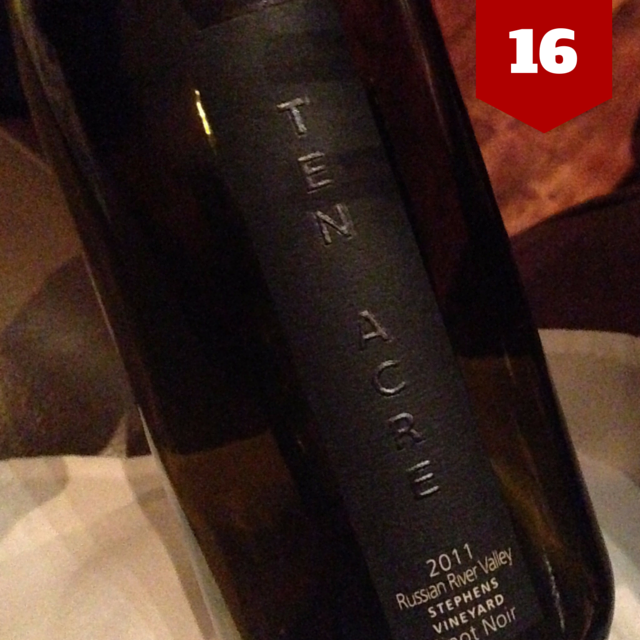
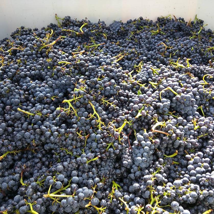
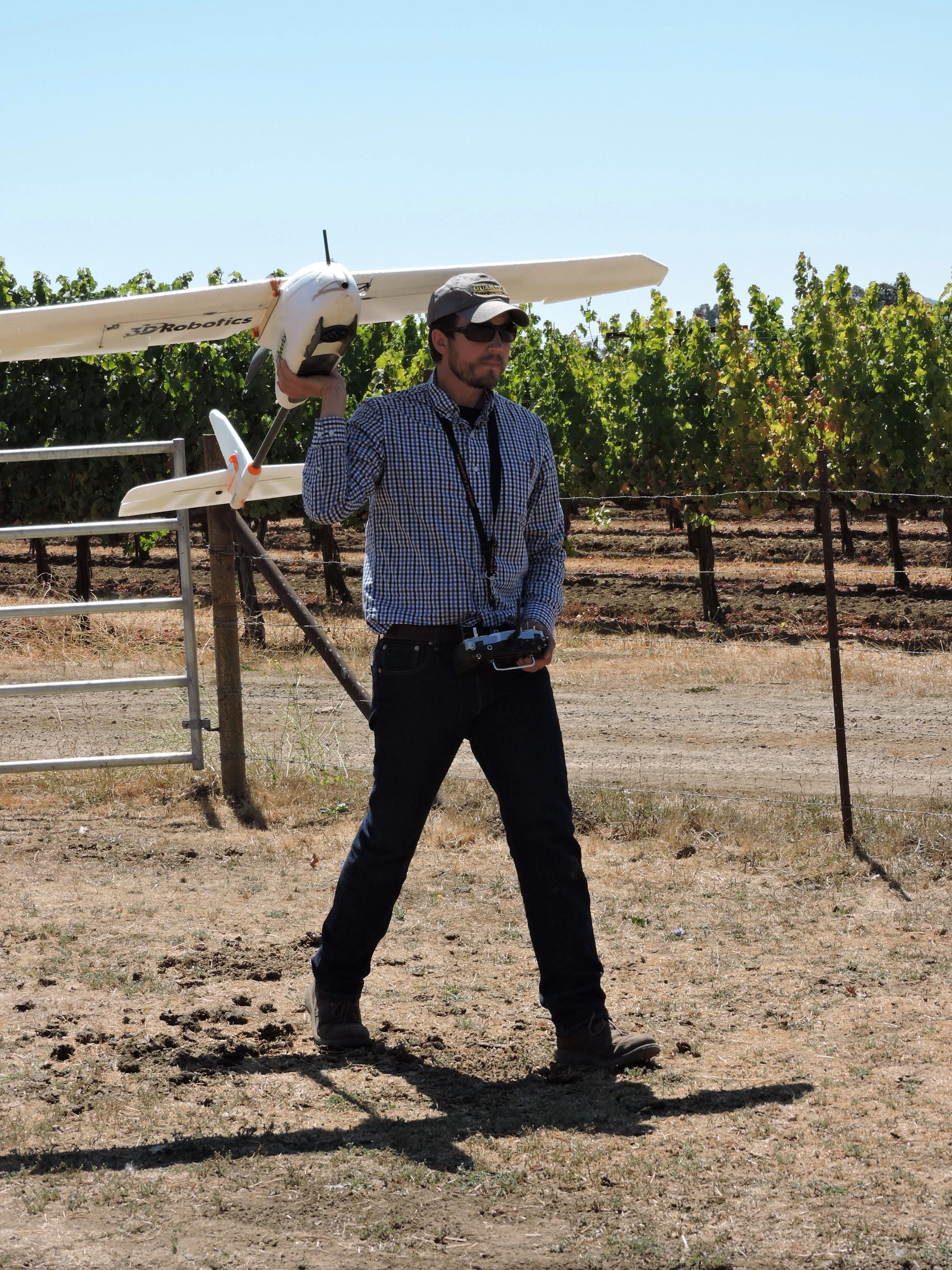
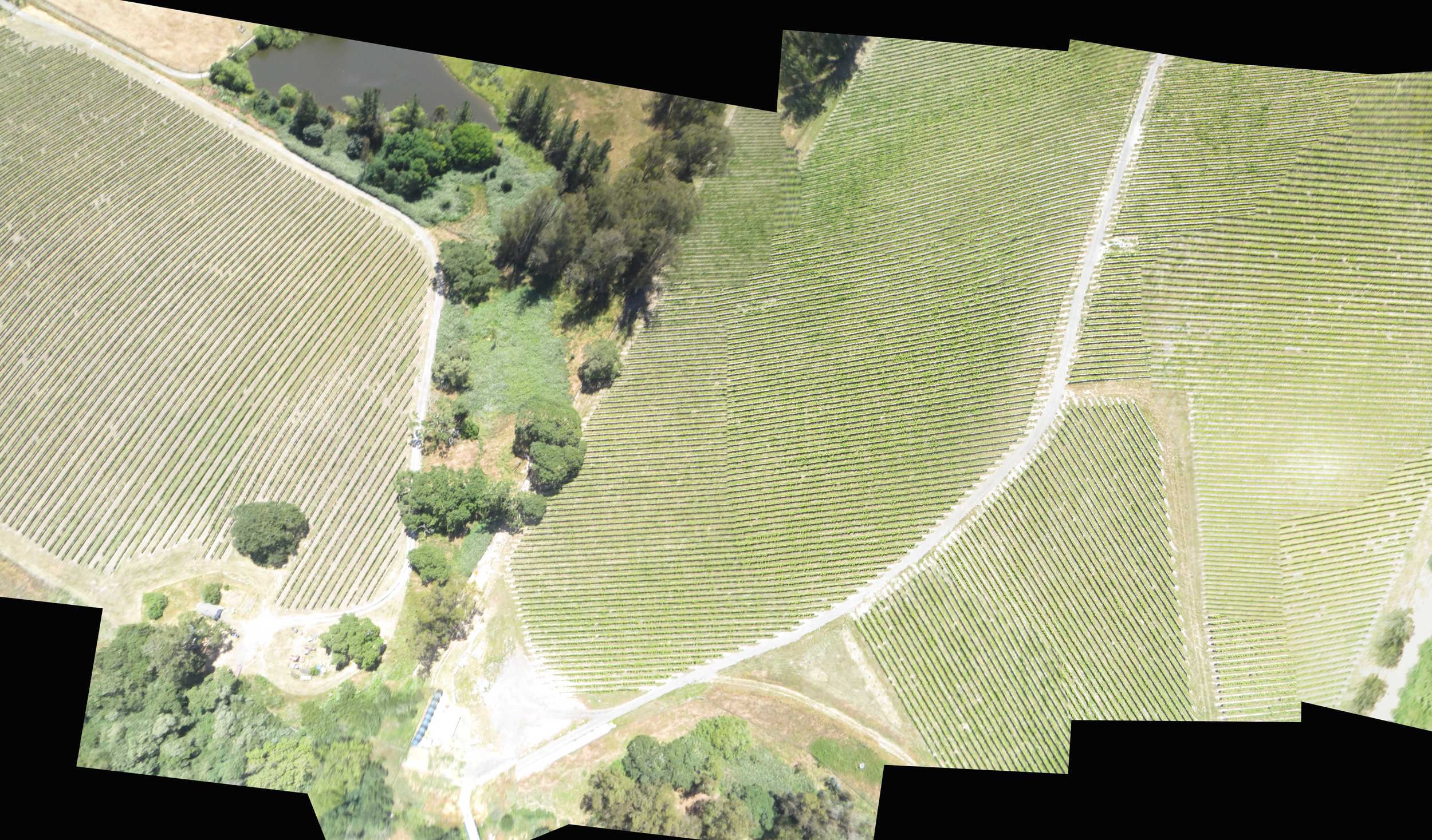
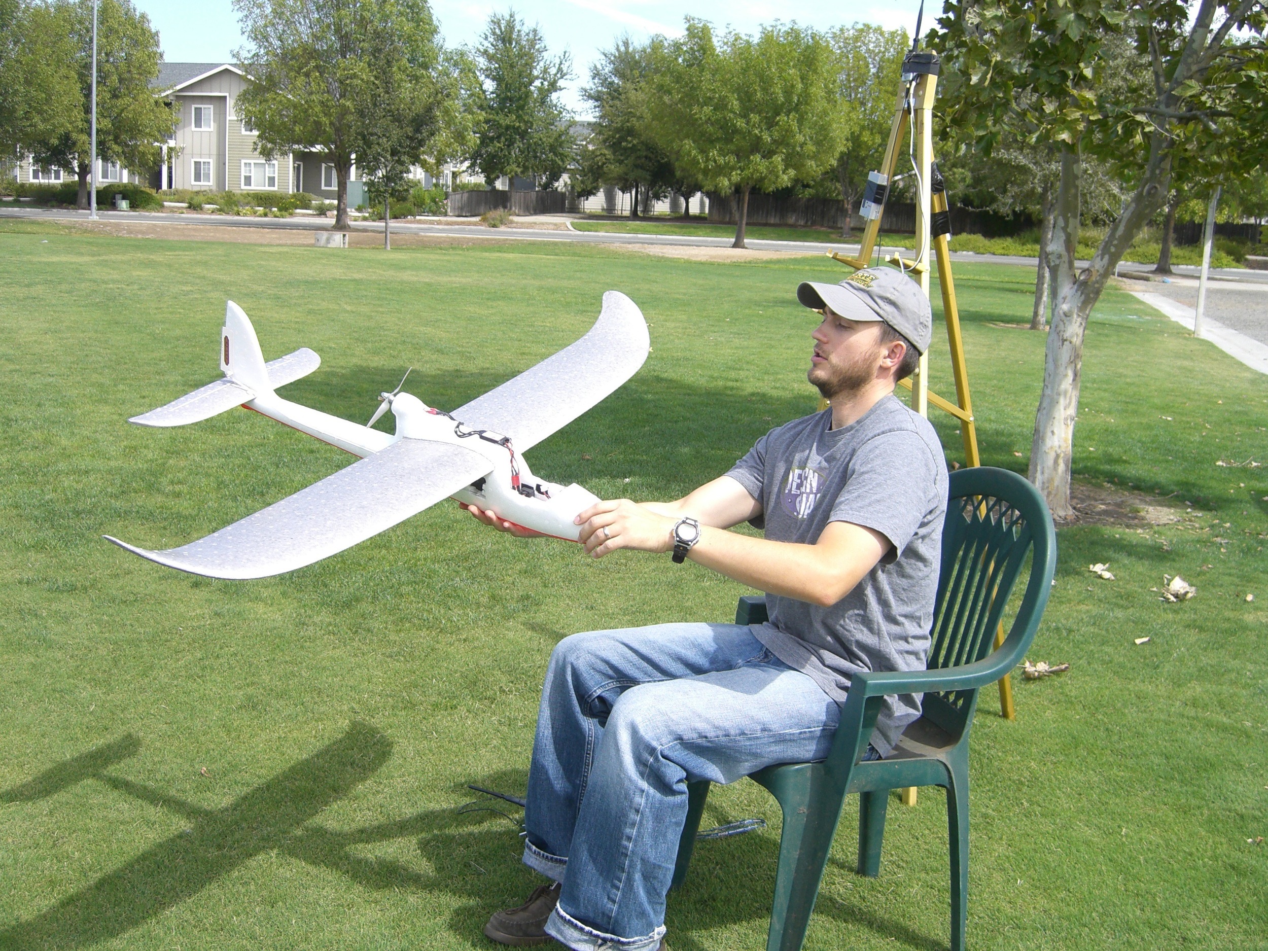
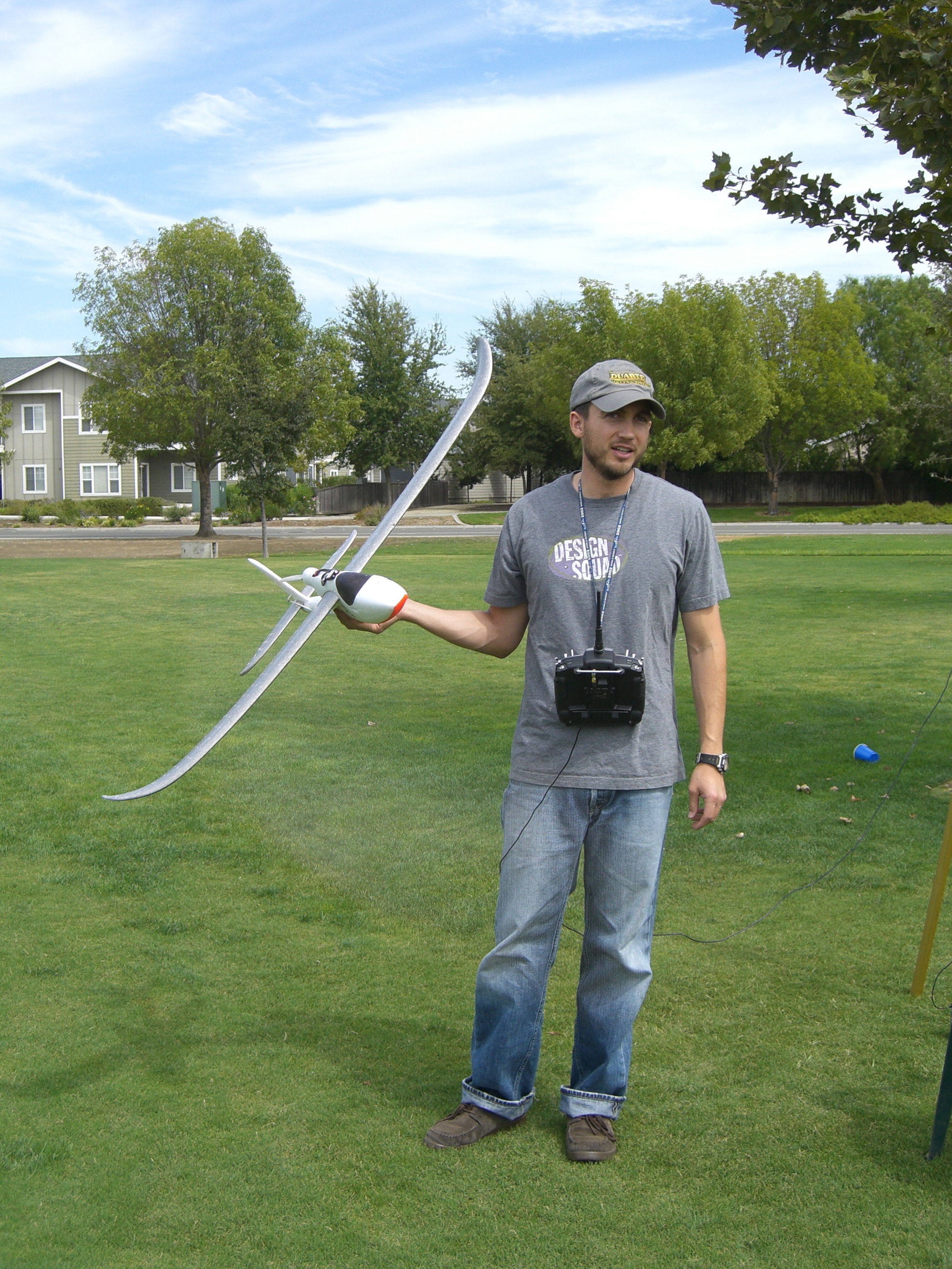
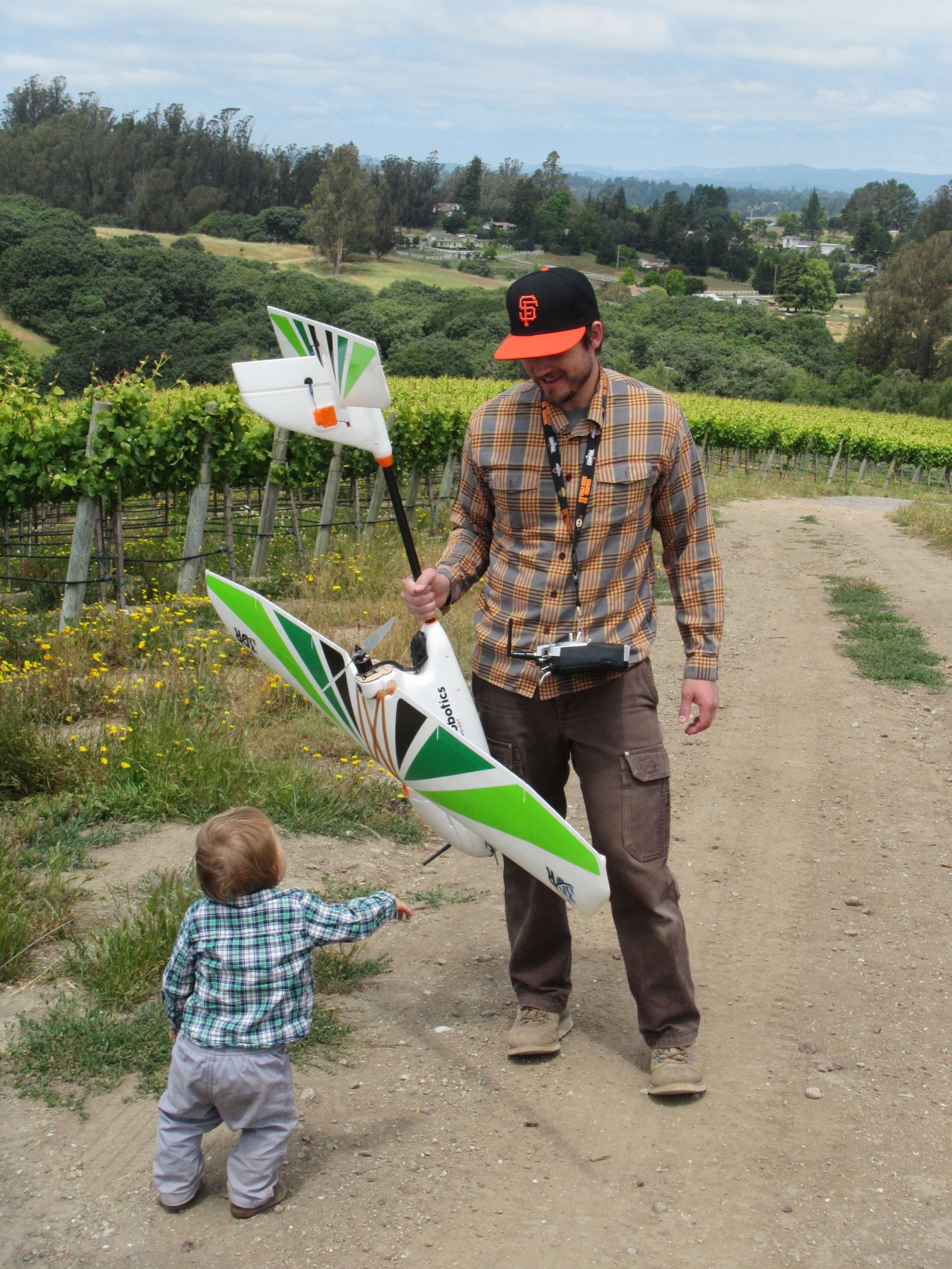
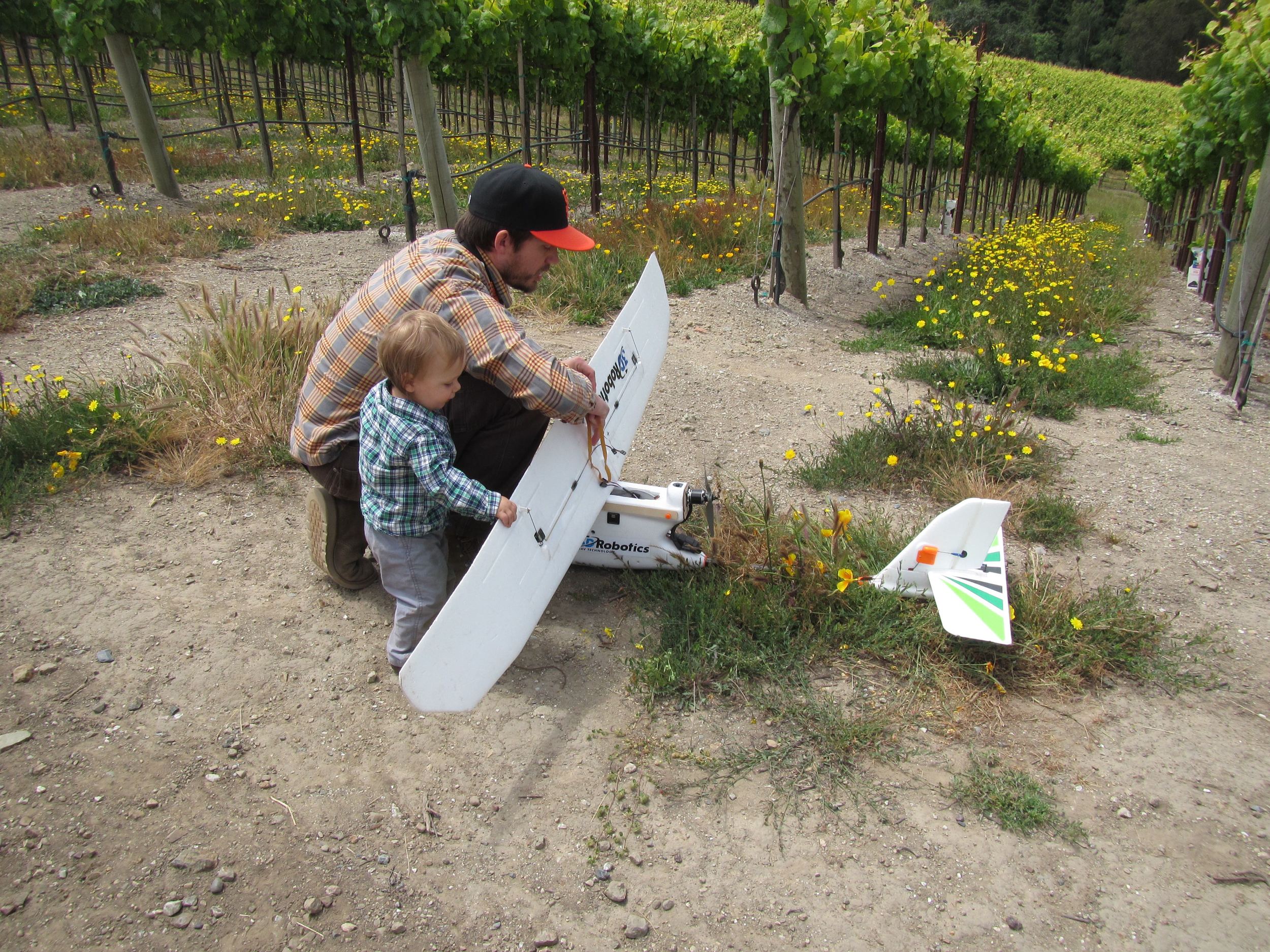
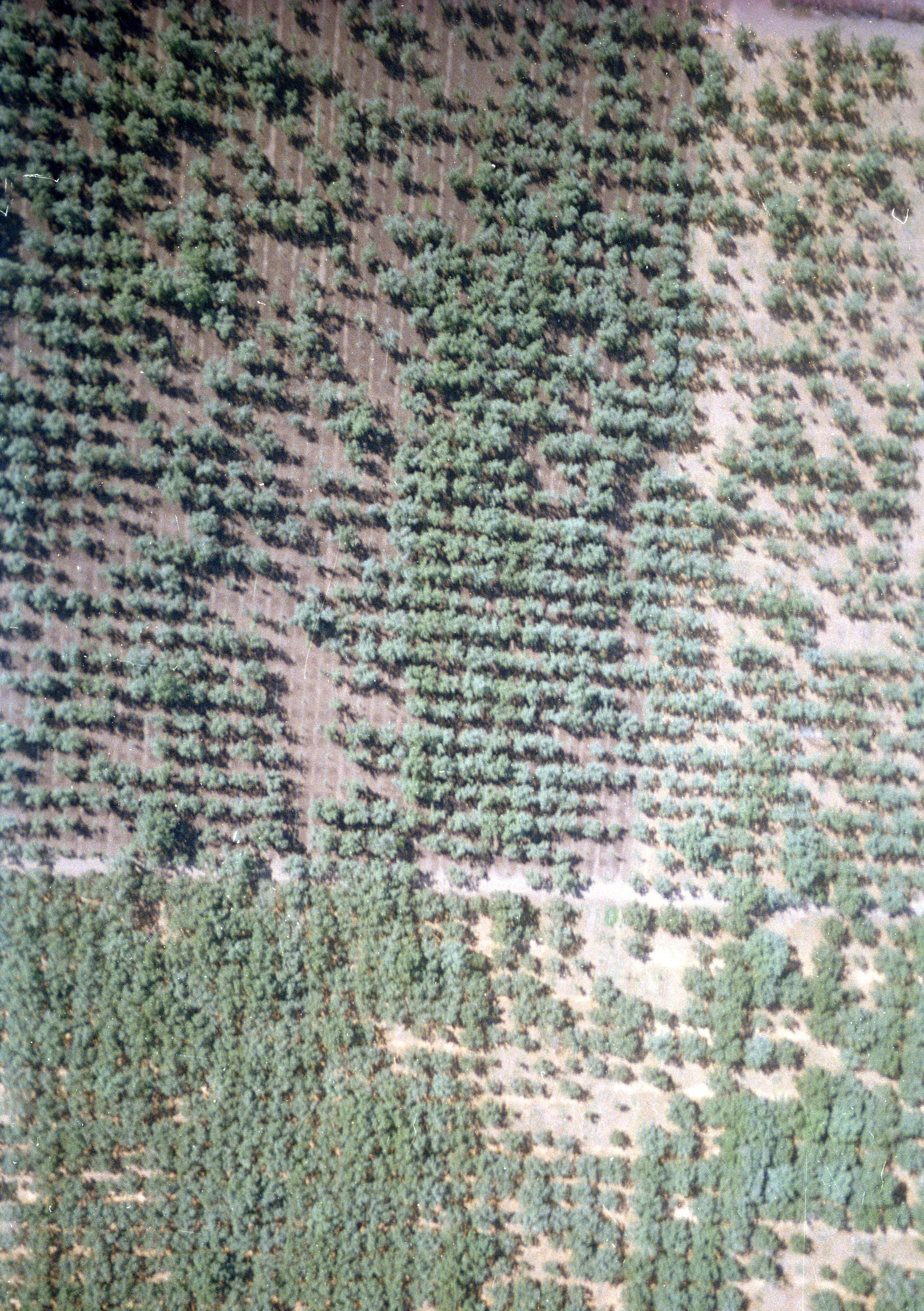
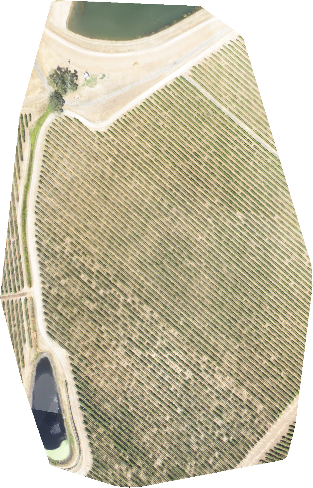
With the help of aircraft, satellites, and more recently, unmanned aerial vehicles, aerial imagery is widely available to all types of end users and applications. From law enforcement and forestry to city planning and government, to growers and vintners. Interpretation of the data that lies within an image is up to the end user. As a winemaker, my uses for aerial imagery are different than that of the grower who farms the vineyard. Although I can consult with vineyards about variation, ground truthing, and growing practices, I’m particularly interested in using imagery to help catalog vineyard sites we source fruit from, tie the site to the wine, and better understand the complexity of factors of variation and fruit selection. Everywhere in nature there’s variation, graphically described as a normal distribution or bell curve. I want to understand as much as I can about the nuances of a vineyard from the ground up, and the implications it has on maturity, concentration, and flavor.